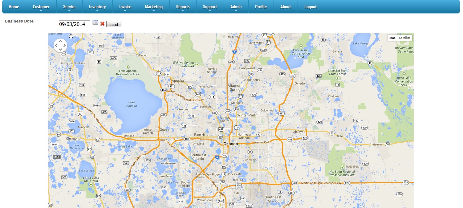
Map
When you take a lead into the system next to their address you will find a button called geocode. If you select this button we will take
the address and try to lookup the latitude and longitude for that address and save it on the system.
This screen uses that information and can determine what service calls are scheduled for the specified day and it will show them on the map.
Jobs with different statuses are shown with different colors on the map. As the call is marked completed
The call vanishes from the screen. Using this screen you can watch as the different drivers handle each call on the map and watch as they vanish so you can redirect if needed.